In this interview, we talked with Miftahul Purnama, an intern joining our Junior Talent Programme, about his role in leveraging technology and innovative approaches to enhance the impact of our projects.
A young and dynamic researcher, Miftahul holds a dual master’s degree in forestry - Forest Science and Forest Engineering from IPB University and Isparta University of Applied Science, Turkey. He specialises in Geographic Information Systems (GIS), remote sensing, and machine learning for environmental modelling.
His academic background and relevant experience in spatial analysis and nature conservation earned him this internship at Preferred by Nature.
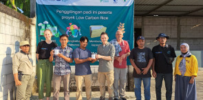
Commencing in January 2024, Miftahul’s six-month internship focuses on the project “Introducing climate-smart cocoa farming among smallholders for ecosystem-based adaptation” in Lampung Province, South Sumatra, Indonesia.
The project seeks to empower cocoa farmers with climate-smart farming and agroforestry practices, promoting income diversification for women and youth, and advocating for ecosystem-based adaptation to align with the UN-endorsed strategies for sustainable resilience.
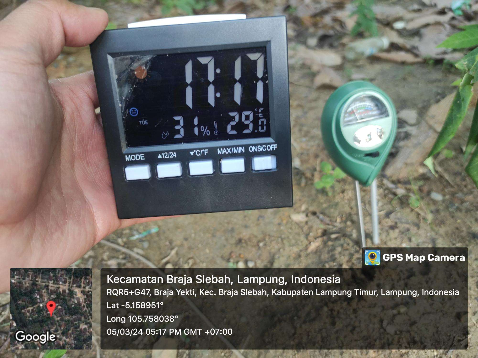
Miftahul’s responsibilities are critical to the project’s success. He is tasked with collecting diverse data types, conducting spatial analyses to assess ecosystem threats, and presenting findings for validation. Additionally, he coordinates field visits, completes desk-based analyses, collaborates with project teams and partners, and provides feedback for methodology enhancement.
What has your experience been like so far with the Preferred by Nature Junior Talent Programme?
It has been incredibly enriching. It has given me the chance to apply my knowledge and skills in GIS and spatial analysis to real-world conservation projects. Working on Preferred by Nature projects like the one in Sumatra, Indonesia has allowed me to contribute to environmental initiatives in a meaningful way.
Can you walk us through the process of conducting spatial analysis for the Preferred by Nature projects in Sumatra?
Spatial analysis involves several steps. I started by gathering relevant spatial data such as satellite imagery, land cover maps, and socio-economic data. I then analysed and visualised these data layers using GIS software and tools to identify patterns and trends related to land use, biodiversity, and conservation priorities. To bring it all together, I interpreted the key findings to support decision-making and further project planning.
Can you explain how you helped the project team choose specific sites for field assessments in Sumatra?
My spatial analysis research supported the project team in selecting specific sites for conducting field assessments, which helped identify areas with high conservation value, biodiversity hotspots, and potential threats. By overlaying different data layers, we were able to prioritise sites that were ecologically significant and in need of conservation action.
What insights have your landscape analyses uncovered and how might these findings inform future projects for Preferred by Nature?
Our landscape analyses have discovered valuable insights into the distribution of biodiversity, ecosystem services, and land use dynamics in Sumatra. These findings can inform future projects for Preferred by Nature by identifying priority areas for conservation interventions, guiding land management strategies, and supporting community-based initiatives for sustainable development.
What were some of the main challenges you faced during your research, and how did you overcome them?
Some of the key challenges were the quality and availability of data, as well as the technical limitations of spatial analysis tools. To overcome these challenges, I collaborated with local partners for better access to additional data sources and worked closely with GIS experts to refine our analytical approaches.
What insights did you gain from the field visits that contributed to the mapping of existing projects, organisations, and donors?
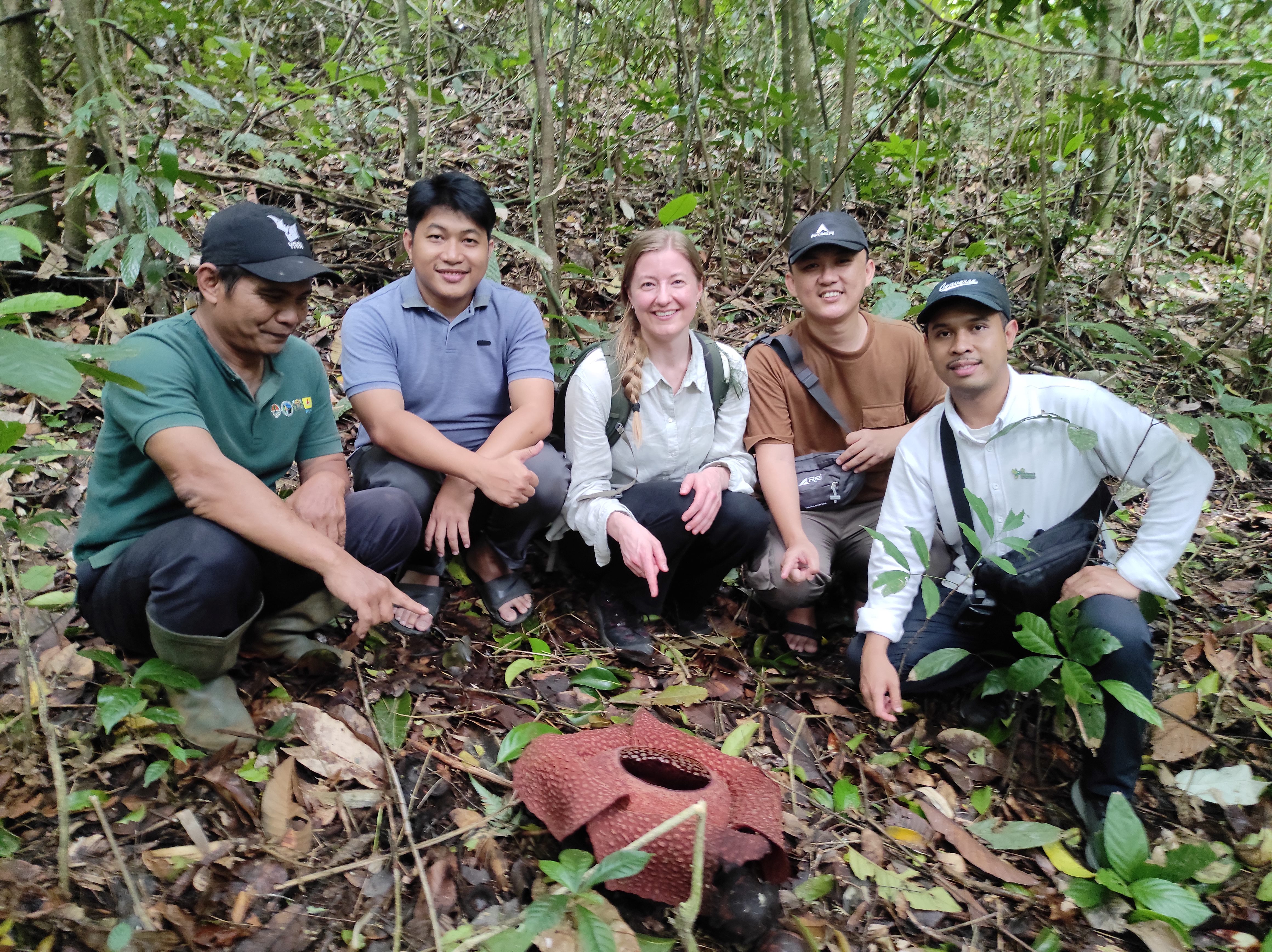
Field visits were invaluable to understanding the local context. They allowed me to validate and ground truth the findings of our spatial analyses. Meeting with local communities, NGOs, and government agencies also helped me understand the socio-economic dynamics and conservation challenges in the region. These experiences helped enhance the accuracy and relevance of our mapping efforts.
In your opinion, what are the advantages and opportunities that GIS analyses can provide to organisations like Preferred by Nature, who work to promote sustainable land management?
GIS analyses offer numerous advantages for organisations focused on sustainable land management, most significantly by enabling them to make informed decisions and prioritised actions. By harnessing spatial data and analysis tools, organisations can identify conservation priorities, monitor environmental changes, and engage stakeholders in participatory decision-making processes.
What are the key takeaways from this research opportunity? What recommendations do you want to make for other interns?
My key takeaways are the importance of interdisciplinary collaboration, the value of field-based learning, and the potential of GIS technologies to drive positive change in environmental conservation. I believe that integrating GIS technology into our projects not only enhances efficiency but also empowers us to make informed decisions for a sustainable future.
My recommendations for other interns are to embrace challenges, seek opportunities for hands-on experience, and leverage their skills to contribute meaningfully to conservation efforts.
At Preferred by Nature, we aim to nurture and empower young students globally by providing them with valuable opportunities to contribute towards shaping a sustainable future through their active involvement and contributions. To learn more about the Junior Talent Programme and be part of the journey, please click here.
Cover photo courtesy Miftahul Purnama / Preferred by Nature.

